Logo timeING
  • Home
  • About
  • Skills
  • Job Stations
  • Recent Posts
  • More
    Featured Posts Projects Selected Publications and Lectures
  • Posts
  • Notes
  • Dark Theme
    Light Theme Dark Theme System Theme
Logo Inverted Logo
  • Tags
  • Academic
  • Accessibility
  • Apps
  • Car-Dependency
  • Committees & Memberships
  • Cycling
  • Data
  • Economics
  • Efficiency
  • FCD
  • Gtfs
  • Healthcare
  • Helper
  • Historic
  • Lectures
  • Media
  • Postgresql V12+
  • Psql
  • Public-Transport
  • Publications
  • Research Dissemination
  • Rural-Mobility
  • Safty
  • Selected-Work
  • Simra
  • Spatial-Analyses
  • Sql
  • Sustainability
  • Urban-Mobility
Hero Image
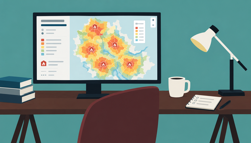
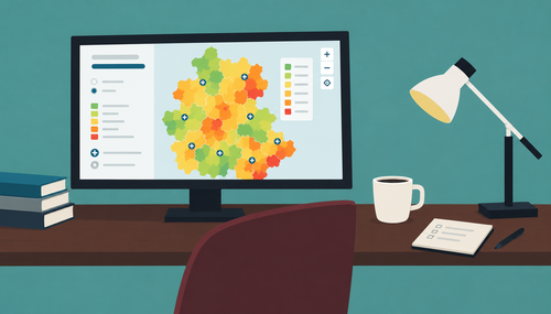
Overlapping Accessibility: The Fire Station Example

Background Where should a fire station be located? At first glance, this sounds like a relatively simple spatial planning question. Put a station where it can reach as many people as possible, preferably within a certain amount of time. In practice, it is considerably more complicated. The location of a fire station is not just a question of geometric distance. What matters is how long it takes an emergency vehicle to actually reach a location through the road network. One-way streets, road classes, speed limits, intersections, traffic signals, bridges, gradients, surface conditions, the structure of the built environment and the traffic volume can all influence travel time.
  • FCD
  • accessibility
  • spatial-analyses
  • healthcare
Friday, October 2, 2026 | 13 minutes Read
Hero Image
From Model to Tool: The Klinik-Erreichbarkeits-Tool

Background After the first post on hospital accessibility in Germany went online1, the collaboration with the Science Media Center (SMC) kept going, and it grew into something bigger. What started in 2023 and 2024 as a series of individual analyses on birth clinics, care for extremely premature infants, and stroke units has since turned into a standalone, interactive research tool: the SMC’s Klinik-Erreichbarkeits-Tool, or Clinic Accessibility Tool.2 Together with several people from journalism, above all the SMC data team, we built a valid and nationally consistent dataset of existing hospital locations. It draws on additional parameters from hospital quality reports, the InEK facility registry, and a few other sources. I continue to provide the underlying accessibility calculations, based on my traffic network model.

  • FCD
  • accessibility
  • spatial-analyses
  • healthcare
Tuesday, April 21, 2026 | 6 minutes Read
Hero Image
Influence of the Planned Hospital Reform on Accessibility

Background Last year, Julius Tröger approached me and informed me about the ongoing discussion regarding the hospital reform in Germany. We already knew each other from a joint project for ZeitOnline, where we calculated the accessibility of vaccination centers for various scenarios.1 Yes, 2021 was a crazy year. Now… since the workflow for examining hospital accessibility is very similar, if not identical, it quickly became clear that we would collaborate again this time.

  • FCD
  • accessibility
  • spatial-analyses
  • healthcare
Saturday, May 4, 2024 | 5 minutes Read
Navigation
  • About
  • Skills
  • Job Stations
  • Recent Posts
  • Featured Posts
  • Projects
  • Selected Publications and Lectures
Contact me:
  • info@timholthaus.com
  • Tim Holthaus